
- FARO® CERTIFIED PARTNER
Digitize any physical space into a phygital asset
- Buy 3D Scanners
- Lease 3D Scanners
- Live Digital Twin Pano RM 360
- Scan to PCD
- Scan to BIM
- Digital Twin
Trusted for EPC, Industrial Plants, REIT portfolios, Airports & Heritage projects.
We typically respond within 24 hours.
Projects Completed
Experts Network
FARO® Certified
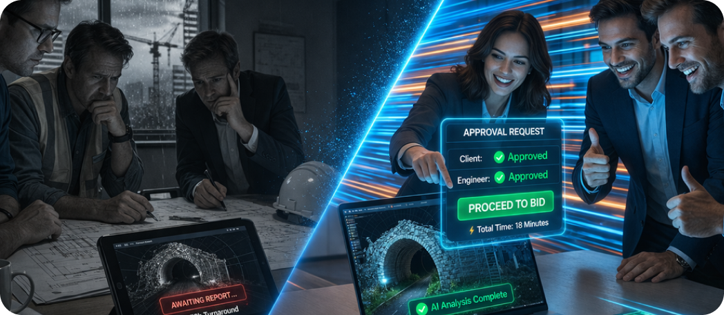
Significantly Faster Coordination
OUR SERVICES
End-to-End
Reality Capture
From site scanning to intelligent BIM models and Digital Twins comprehensive solutions for the modern AEC workflow.
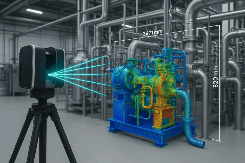
Industry leading laser scanners for precision documentation. From compact to long-range.
Short or long-term lease with trained operator and deliverables.
- Scan → Point Cloud → BIM → Digital Twin / Command Centre
Accurate as-built Revit models and digital twin ready outputs.
- Powered on BIM keeper and extended with our Command Centre approach
Centralised digital twin control for portfolio oversight and remote monitoring.
POWERED BY FARO® Ametek
World's Most Accurate Scanners
The gold standard for forensic-grade documentation trusted by NASA, Boeing, and the world’s top AEC firms.
- THE PANORAMIC LIVE 360° CAMERA
Pano-RM 360
AI Engineered, State of the Art 360° camera
A Cutting Edge Visual Intelligence Solution Enabling Real-Time Asset Monitoring and Analytics across Airports, Industrials, Infrastructure, Metro, Stadium, and Commercial Facilities. Capture every angle with AI-assisted 360° imaging that keeps stakeholders aligned, reduces site visits and supports accurate project documentation.
- Live panoramic capture
- Quick visual twins
- FM dashboards
CASE STUDIES
Real projects,
measurable outcomes.
From on-site reality capture to production-ready BIM and digital twins delivered with measurable accuracy, speed, and scale for complex AEC projects.
Sectors at a Glance
Sectors We Serve
Airport digital twins consolidate airside, terminal and landside data into a live operational model. Crowd simulation, gate utilisation and infrastructure compliance checks run continuously against the as-built point cloud baseline.
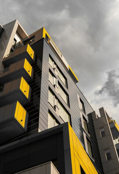
FARO 3D scanning delivers millimetre-accurate as-built documentation of commercial towers, mixed-use developments, and retail complexes. AI-processed point clouds feed directly into CIM-ready BIM models for lease management, fit-out coordination, and asset handover.
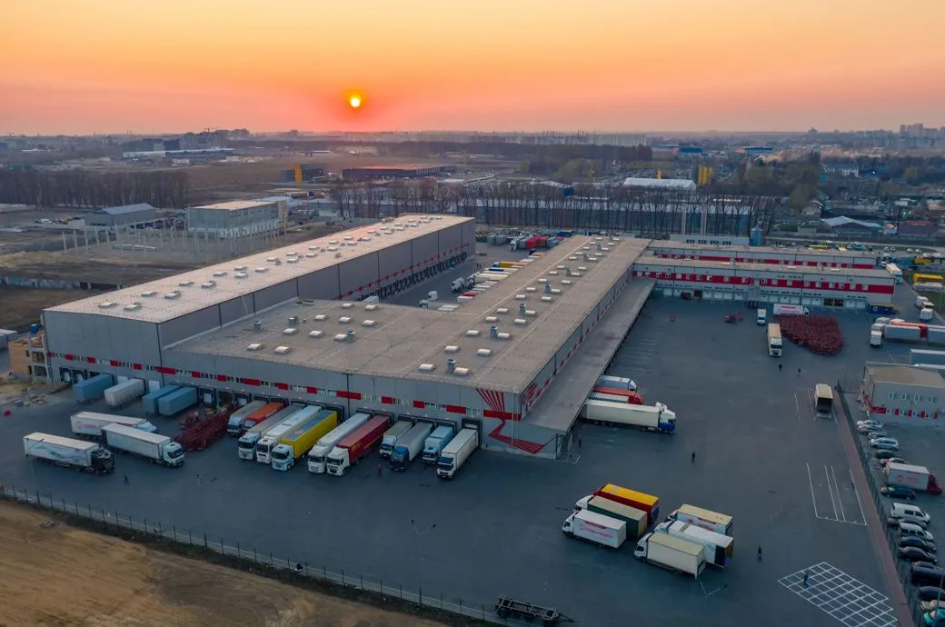
Industrial parks feature modular zoning, high-bay warehouses and heavy load infrastructure. Digital twin deployment enables real-time asset monitoring, predictive maintenance scheduling and 360° facility walkthroughs without site visits.
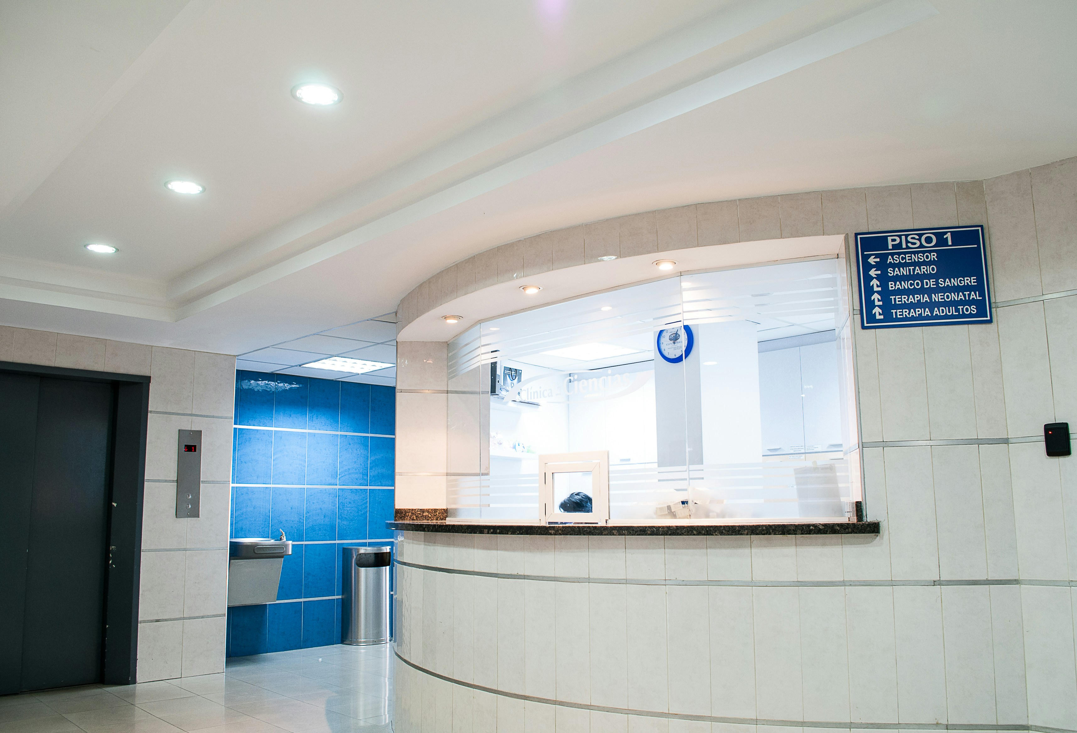
Healthcare facilities demand as-built documentation accuracy beyond standard construction tolerances. FARO scanners capture ward layouts, operating theatres, MEP systems and cleanroom envelopes with millimetre-level accuracy, supporting HTM/NABH-compliant asset management and regulatory compliance.
Bridges, flyovers, dams, rail corridors and port facilities don’t leave much room for error. These are live assets, often under load and the survey data needs to match that reality. Manual methods are too slow, too exposed and not precise enough for environments where you can’t shut things down and wait.
SLAM-enabled terrestrial scanners navigate confined spaces while capturing 2 million points per second. AI-segmented point clouds auto-generate piping, HVAC, and structural Revit models with sub-2mm deviation.
Water infrastructure, including treatment plants, effluent plants, distribution networks, pumping stations, reservoirs, and underground pipelines, underpins urban and industrial life. Ageing assets, expansion programmes, and regulatory demands all require documentation that stays current and accurate across every kilometre of network.
Sectors Under Our Scanner
Converting physical environments
into scalable digital assets.

Hospitality
Check In the Scanner. Check Out with Certainty.
Manufacturing
Scan the Line. Certify the Process. Own the Output.
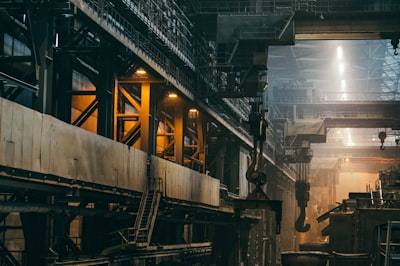
Oil and Gas
Live Plant. Live Data. No Shutdown Required.
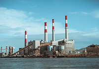
Power Infra
Precision Documentation Across the Entire Power Value Chain.

Sports Arena
Groundbreak to Handover - Fully Documented.
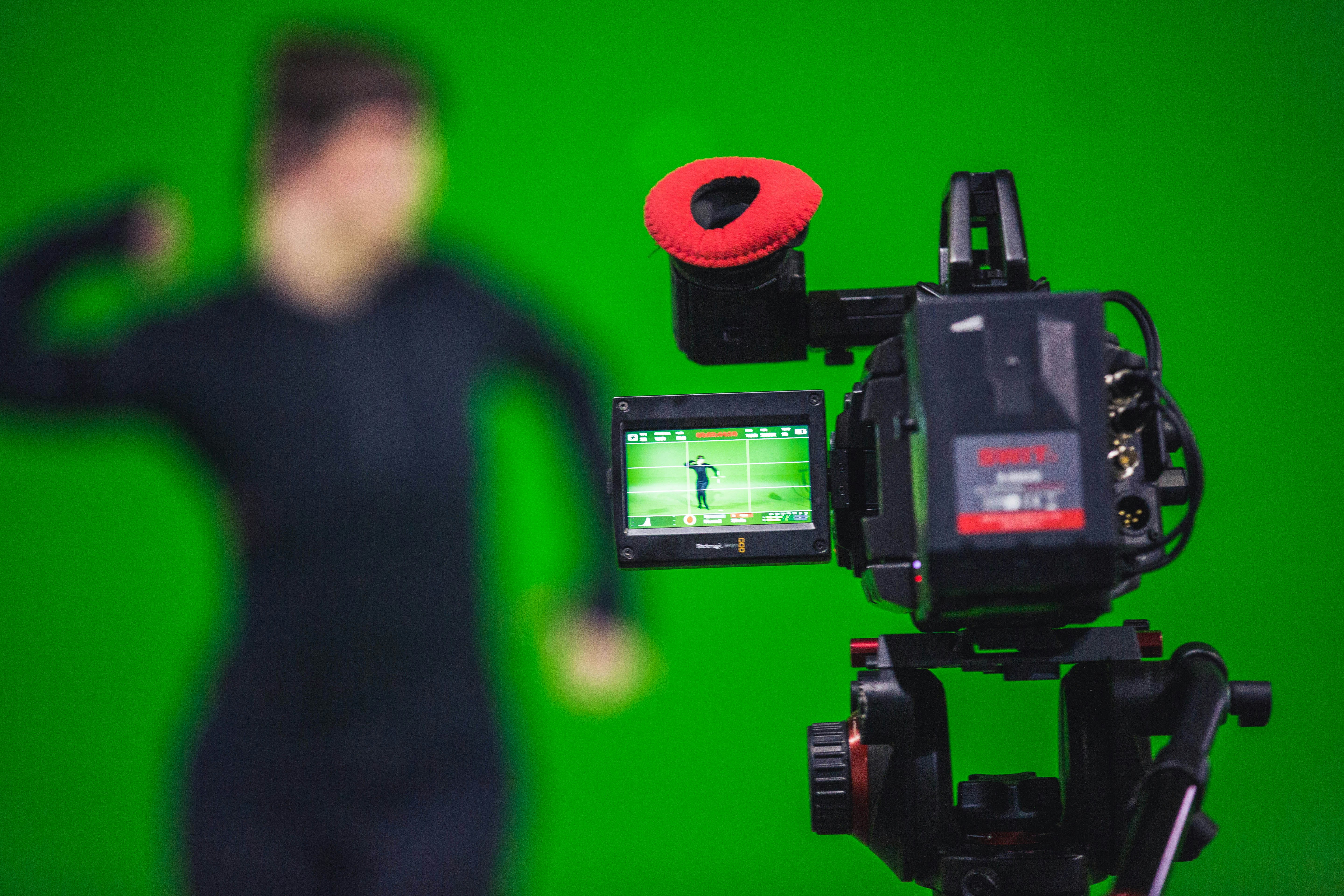
PROVEN RESULTS
Why Precision Scanning
& Digital Twins Matter
Transform your workflow with measurable improvements.
Fewer site visits and rework
Reduction in costly field discrepancies
Faster decision-making and approvals
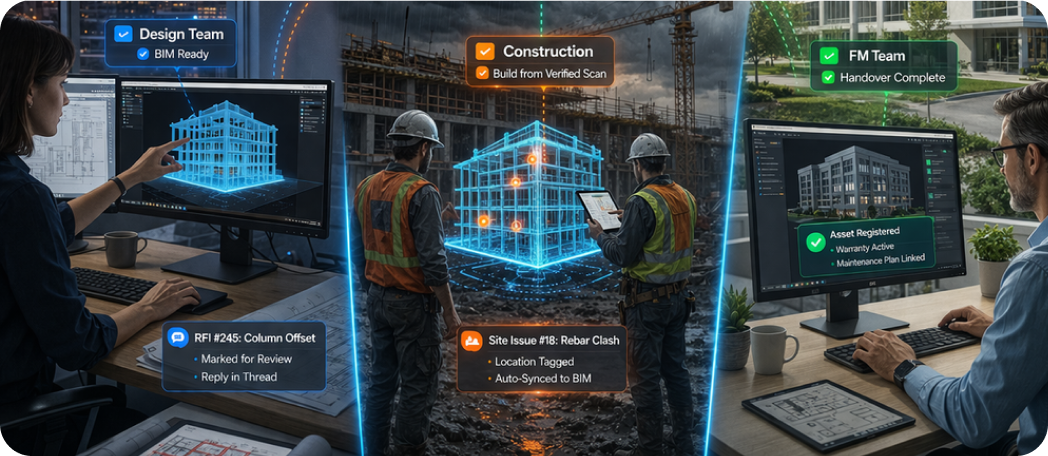
Better coordination between design, construction & FM
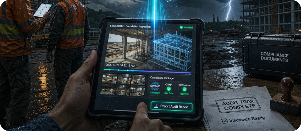
Stronger documentation for compliance, audits & insurance
Initiate The Build
Plugin into Possibility from
Idea to Impact
Ready for your next scanning or digital twin project?
BLOGS
The latest news in our blog
Construction overruns usually come from the same root causes: inaccurate site data, coordination gaps, rework, and late discovery of on‑site constraints. 3D laser scanning (LiDAR)
Learn More →
What is Scan to BIM? Scan to BIM is the process of capturing a physical space using 3D laser scanning and converting the scan data
Learn More →
Digital twin technology is reshaping how construction and infrastructure assets are designed, delivered, and operated. A digital twin is not just a 3D model—it’s a
Learn More →