Why Choosing
Orbis™ Premium Mobile Laser Scanner
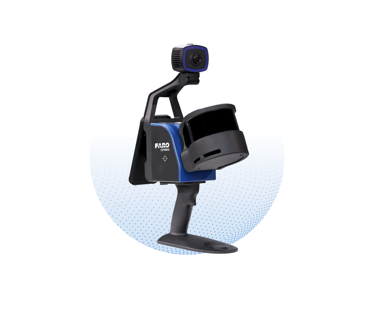
FARO® Orbis™ range are unique mobile scanning solutions created to optimize workflows and elevate productivity. Designed for surveying and mapping, engineering, and construction, and public safety professionals, Orbis delivers rapid speed of capture, while returning highly accurate 3D visual representations of the real world. Integrating FARO’s Flash Technology™ in Orbis allows for stationary scans in approximately 15 seconds and provides excellent detail from a mobile mapping solution.
FARO® Orbis™ range are unique mobile scanning solutions created to optimize workflows and elevate productivity. Designed for surveying and mapping, engineering, and construction, and public safety professionals, Orbis delivers rapid speed of capture, while returning highly accurate 3D visual representations of the real world. Integrating FARO’s Flash Technology™ in Orbis allows for stationary scans in approximately 15 seconds and provides excellent detail from a mobile mapping solution.
FARO® Orbis™ range are unique mobile scanning solutions created to optimize workflows and elevate productivity. Designed for surveying and mapping, engineering, and construction, and public safety professionals, Orbis delivers rapid speed of capture, while returning highly accurate 3D visual representations of the real world. Integrating FARO’s Flash Technology™ in Orbis allows for stationary scans in approximately 15 seconds and provides excellent detail from a mobile mapping solution.